
POSTER DE BLONDE
Personalised route poster — your run, your hike, your trip
You started a design here. It is saved on this device.
Boucle de Paris
April 2025
James & Sophie
11.5 km · 58 min · 18 m ascent
The track is drawn exactly where it happened; drag the map to frame it, zoom with the buttons. The preview is what will be printed.
© OpenStreetMap contributors, data under the ODbL licence.
The GPS track of a run, hike or trip, drawn on the map exactly where it happened — imported from a GPX file (distance, time and elevation gain computed) or picked from our route library. Nine styles, a title, a dedication. 250 g matte paper, A4 to 70 × 100 cm.
First the object — medium, size, frame — then its content, which you watch take shape in the preview.
Ready to give: printed in our Estaing workshop and shipped within 48 h, with an optional frame on A4 and 30 × 40.
For a last-minute gift: the print file, €8.90, arrives by link the same day — PDF and PNG at 300 dpi, all five sizes.
See the five sizes to scale
Step 4 of 4: Create my map track · style · text
or

Pick an activity from your account: only its track goes with your order, and we disconnect from Strava as soon as it is imported.

Your personalisation
Check the spelling: the poster is printed exactly as is, to order.
-
Printed in AveyronComposed and printed in our family workshop in Aveyron, checked before it ships.
-
Printed to order250 g matte paper, pigment inks: printed in our Aveyron workshop, whatever the size.
-
Shipped within 48 hTo your door or to a pickup point, by La Poste or Colissimo.
-
Ready to giveStandard frame sizes, easy to find.
Secure payment
Full description
The track of your marathon, your mountain pass, your long-distance hike, your bike tour — on the map, exactly where it happened. Drop the GPX file from your watch or app and the track is drawn on our maps with distance, time and elevation gain; or pick a route from our library, with its distance.
Streets, rivers, parks and buildings come from OpenStreetMap data. You frame the map, pick a style, write the title and a dedication — the poster is printed exactly as you see it.
- 250 g matte paper, pigment inks, printed to order.
- Five sizes: A4, 30 × 40, 40 × 60, 50 × 70 and 70 × 100 cm.
- Optional wooden frame on the A4 and 30 × 40, black, white or natural.
- Or the print-ready file: all five sizes, each as PDF and 300 dpi PNG, by download link.
The poster, once printed

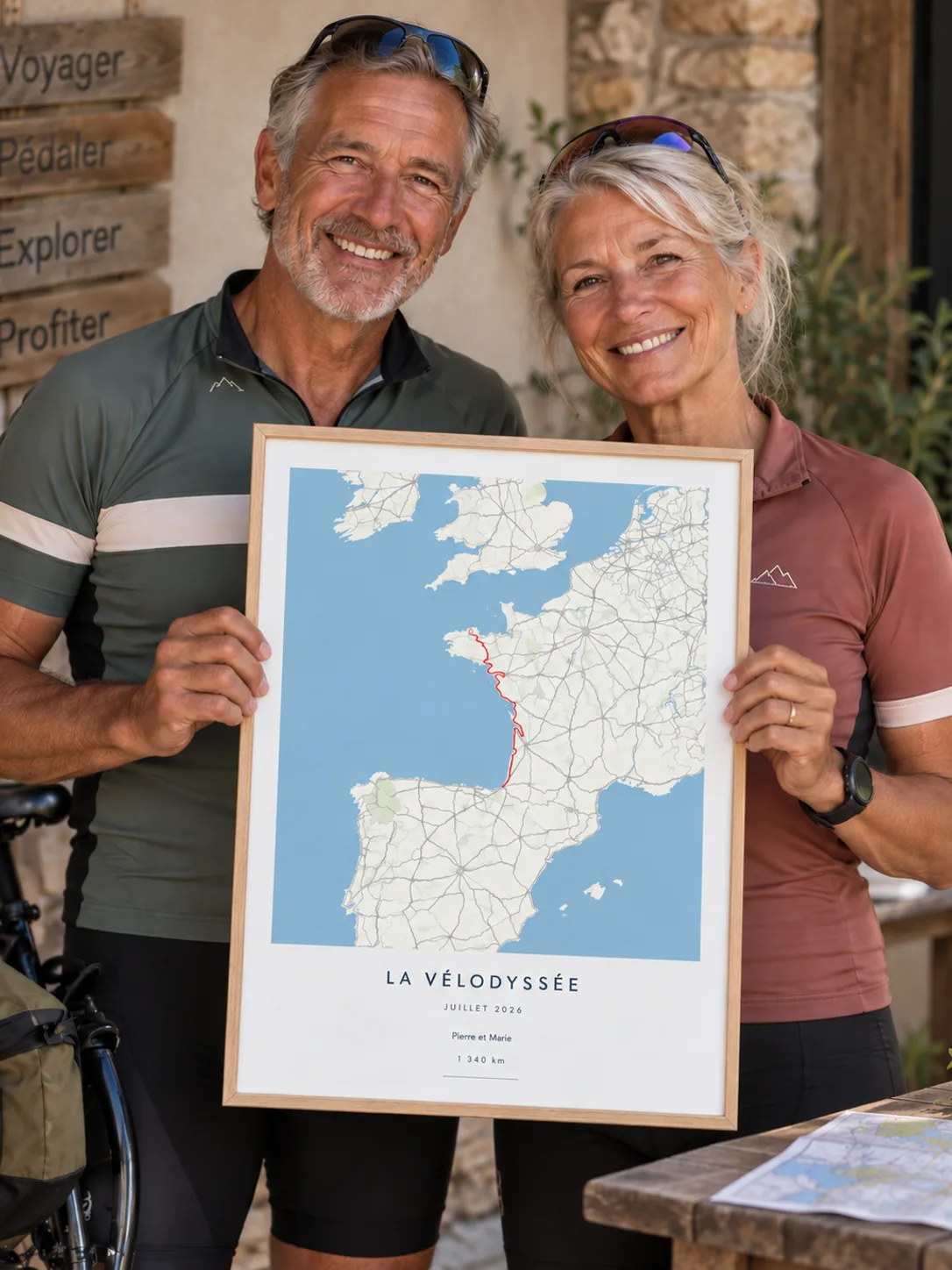

Scenes and people generated by AI.
Sizes
A4 · 21 × 29.7 cm
The keepsake: a birth, the sky of one date. Everyone owns an A4 frame, and it ships flat, in a stiff card envelope.
30 × 40 cm Our favourite
The entry size, the most common frame size: IKEA, HEMA, Action.
40 × 60 cm
Bedroom and hallway décor, in 2:3 like a photograph. 40 × 60 frames at homeware or framing shops.
50 × 70 cm
The flagship living-room size, sold across the market. Shipped rolled, in a sturdy long cardboard box, home delivery only.
70 × 100 cm
The large wall size. 70 × 100 frames at IKEA (RÖDALM). Home delivery only.
| Size | Printed poster, no frame | With frame |
|---|---|---|
| A4 · 21 × 29.7 cm | €19.90 | €38.90 |
| 30 × 40 cm | €29.90 | €58.90 |
| 40 × 60 cm | €44.90 | Not offered |
| 50 × 70 cm | €49.90 | Not offered |
| 70 × 100 cm | €69.90 | Not offered |
| Print-at-home file: all five sizes, as a PDF and as a 300 dpi PNG | €8.90 | |
Prefer to print it yourself? All five sizes, each as a PDF and as a 300 dpi PNG — ten files, by a download link sent after payment.
How it works
- Bring your track
A GPX file from your watch or app, from which distance, time and elevation gain are computed, or a route from our library, with its distance.
- Frame it, pick a style and your text
The track on the map, exactly where it happened. Nine styles, a title, a subtitle, a dedication, the line of figures. Always portrait: what you see is what gets printed.
- We print in Aveyron
To order, on 250 g matte paper: in our Aveyron workshop, whatever the size, and every poster is checked there before it ships. Or you receive the download link for the file by e-mail.
Specifications
| Formats | A4, 30 × 40, 40 × 60, 50 × 70 and 70 × 100 cm |
|---|---|
| Paper | Matte, 250 g/m² |
| Inks | Pigment-based, lightfast |
| Optional frame | On A4 and 30 × 40: wood, black · white · natural, with acrylic glass |
| File only | All five sizes as PDF and 300 dpi PNG, by download link |
| Map data | OpenStreetMap |
| Brand | Dandymaps® |
| Personalisation | Title · Subtitle · Dedication · Figures · Style |
| Occasions | After a marathon or a trail race · A climb or a long-distance trail completed · Birthday · Father’s Day · Retirement · Christmas |
| Gift for | A cyclist · A runner · A hiker · A finisher |
| EAN code | 3701800802913 |
More gift ideas: A hiker
For the same occasion
-
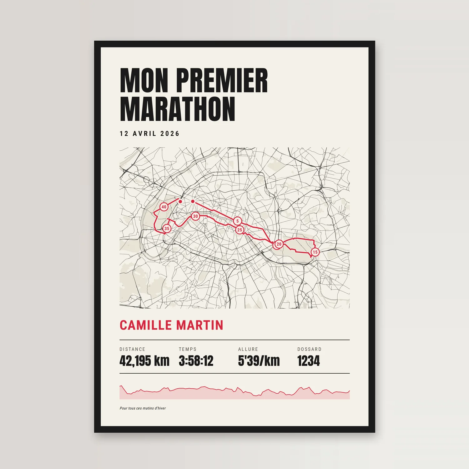
Personalised marathon poster — your race, your time, your bib
From €8.90
-
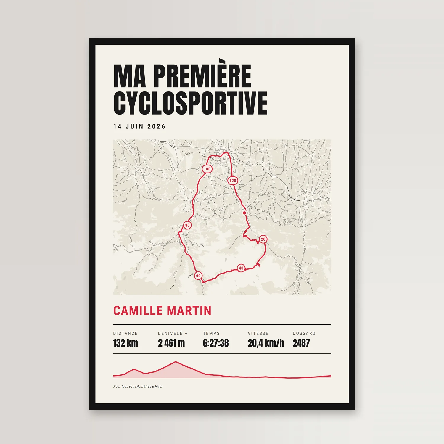
Personalised cycling sportive poster — your ride, your climbs, your time
From €8.90
-
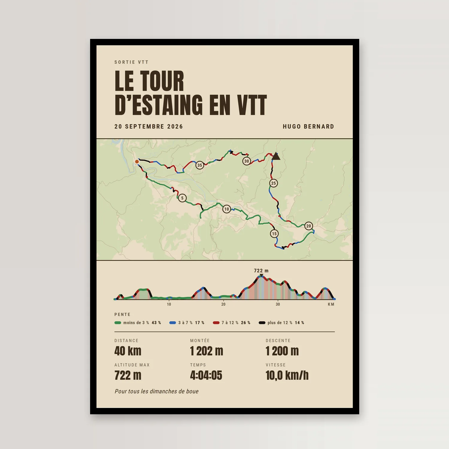
Personalised mountain bike poster — your ride, its gradients, its climbing
From €8.90
-

Personalised marathon poster with photo — your race, your face, your time
From €8.90
Worth a read: At the 30 km mark, holding a sign: what you keep of a race
Frequently asked questions
Where does the track come from?
Three ways: a GPX file, the format every watch and app exports (Garmin, Coros, Polar, Suunto, Komoot, Strava, Wikiloc…); your Strava account, which you connect to pick an activity; or our library of well-known routes. The track is simplified for print without losing its shape.
What do you do with my GPX file or my Strava account?
Nothing but draw your poster. The GPX file is read in your browser and never sent to our servers; with Strava, we read your activities and the track of the one you pick, then revoke our access as soon as the track is imported. Only the simplified track, with distance, time and elevation gain, goes with the order.
Are the figures accurate?
Distance is computed on the track, elevation gain on the file’s altitudes after smoothing (GPS “jitters”), time from start and end times. A route from our library has no altitudes or times: only its distance is written. You can edit or add to the line before ordering — an official chip time, for instance.
Which sizes and frames?
A4, 30 × 40, 40 × 60, 50 × 70 and 70 × 100 cm: standard frame sizes, easy to find (IKEA, HEMA, Action). Optional wooden frame on the A4 and 30 × 40, in black, white or natural, with acrylic glass; the larger sizes ship rolled, to frame at home.
What paper is the poster printed on?
250 g/m² satin matte paper, lightfast pigment inks. Printed to order in our workshop in Aveyron, whatever the size. Shipped rolled, in a sturdy long cardboard box; the A4 travels flat, in a stiff card envelope.
Can I get the file instead of the poster?
Yes. The print-ready file contains all five sizes, each as a PDF and as a 300 dpi PNG — ten files in all, by a download link sent after payment, to print wherever you like.
How long does it take?
Printed within 48 hours, then delivered to your home or a pickup point — home delivery only for the 50 × 70 and 70 × 100. The download link for the print-ready file is sent the same day.